One practical application of photogrammetry is its use as a source in map creation. In geodesy, it serves as an aid in measuring large areas and distances and is also one of the methods used to determine the heights of objects.
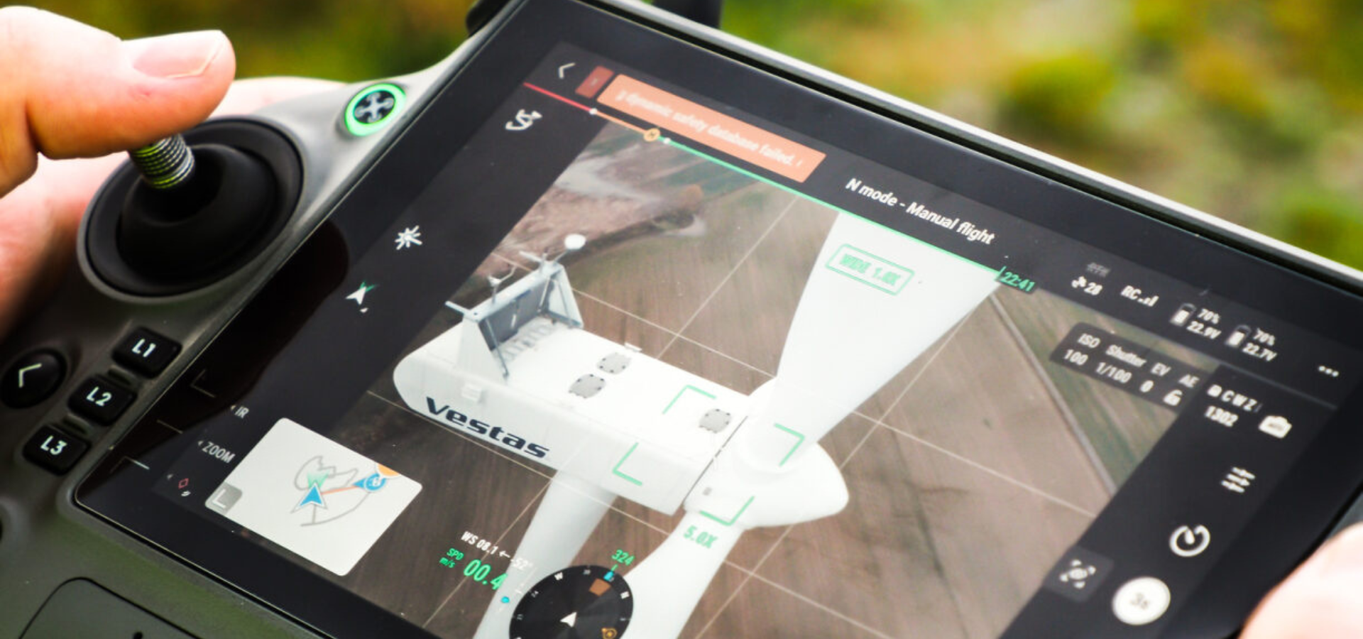
Special, typically large-format, photogrammetry cameras equipped with aberration-free lenses are employed to capture photogrammetry images. Depending on the method of image capture, two main branches are distinguished: terrestrial photogrammetry (terrafotogrammetry) and aerial photogrammetry (aerofotogrammetry).
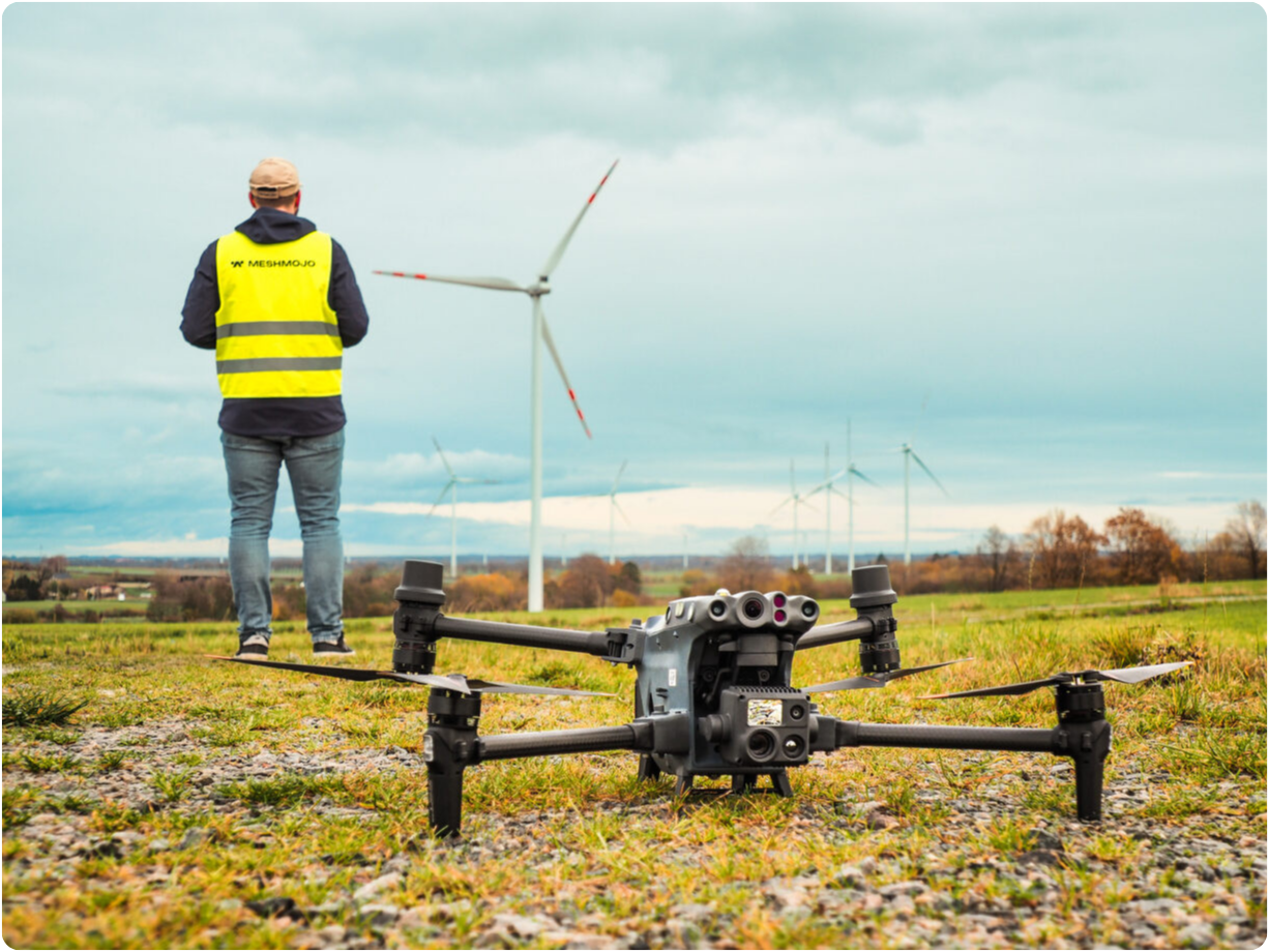
Depending on the utilization of images, flat (single-image) photogrammetry and spatial (two-image) photogrammetry, also known as stereo photogrammetry, are identified. Stereo photogrammetry involves obtaining a spatial image of an object or terrain using a stereo gram – a pair of images captured from two different points in space. Photogrammetry mappings can also be created using both metric and non-metric cameras.
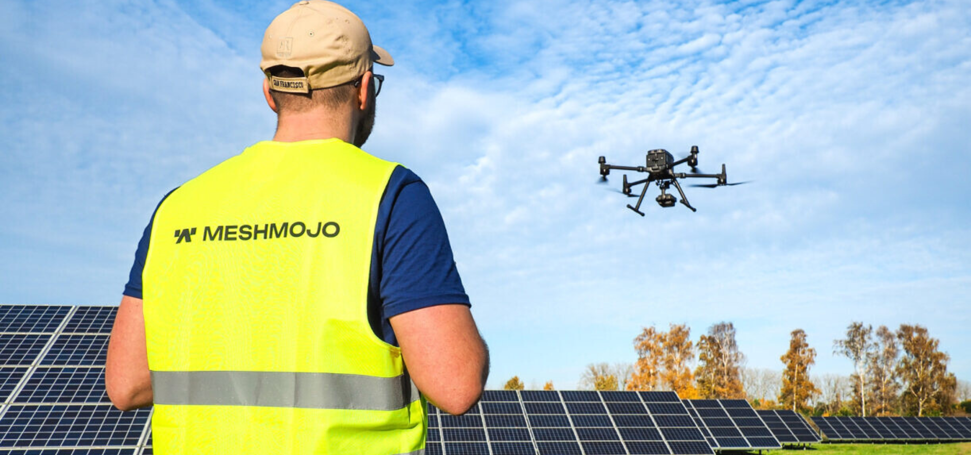
Applications:
- Measurement of earthwork volumes
- Aerial power line measurements
- Development of 3D terrain models
- Periodic photogrammetry surveys to monitor progress, e.g., on linear structures
- Vegetation state monitoring
- Production of orthophotomaps – maps created based on aerial photographs, presented in reference to the coordinate system of an adopted cartographic projection.
